
Ecological redlines – China is undergoing a great experiment — tightly controlled and driven by big data — that it hop es will offer an alternative way of protecting the planet.
In an effort that often goes unnoticed, China’s leadership is pushing further to build what Jessica Gordon of the University of California, Berkeley’s Center for Law, Energy, and the Environment once called the “world’s most comprehensive ecosystem-based land planning strategy” and raise the percentage of protected land area to 35% through Ecological Conservation Red Lines (ERLs). This innovation has the potential to make China a leader in global conservation, be exported elsewhere along the Belt and Road Initiative, and strengthen the state’s control over its land.
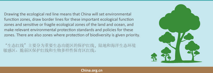
China’s new national parks are the crown jewels of the nation’s growing protected area system, ERLs are designed to include the preexisting 18% while also drawing in the pockets of China’s land and water that fall outside the officially protected area system but still have ecological utility and value toChina’s people, its economy, and future. In short, they provide a bottom line for where development cannot go, and compose China’s most ambitious conservation goals yet.
The population red line is set at 1.5 billion. There are also red lines for arable land (120 million square kilometers) and water resources (less than 700 billion cubic meters of water used). These markers can be understood as a kind of absolute carrying capacity for both the environment and the state, a necessity for China’s ecological civilization and political model that must be achieved no matter the cost. These red lines, which mean “insurmountable boundary” in the Chinese, are a key concept to planners.
ERLs are hallmarked by an unprecedented and impressive amount of spatial planning. From the bottom up, the state relies on data from local researchers and input from China’s nationwide Ecological Function Zoning Map and National Ecological Quality Index to map out hot spots for ecosystem services, fragile ecosystems, and biodiversity. They then overlay existing protected areas, subtract key land tracts reserved for development space, and work to connect ERL boundaries.
China’s red lines, when pushed to their limit, trump fertility rights, water access, and land tenure. The new ERLs are no different. As early as 2002, local planners were piloting the use of red line control areas to conserve land and water resources in Zhejiang Province, and at least one factory inside the established red line was paid to relocate.
From the top down, the red lines clarify China’s three-space land planning system, where the nation’s land is zoned into production space, urban space, and ecological space. Within ecological spaces, only protected areas originally assured conservation status and were often formed in mountainous regions or remote areas already relatively distant from development. ERLs push planners to think beyond convenience and even biodiversity, using big data to answer the persistent question “when and why to protect” in order to “ensure that there is no net change in land cover, and no net loss of biodiversity or degradation of ecosystem services within areas that are critical for maintaining ecological safety and functions, thereby improving environmental quality and promoting the efficient use of resources.”
The current ERL policy allows for national-level infrastructure and energy resource security projects to breach the lines when necessary. It also allows for limited human activities that do not harm ecological function within the lines.
ERLs are one of the world’s most ambitious and well-monitored “other effective area-based conservation measures” (OECM) promoted by the Convention on Biological Diversity and International Union for Conservation of Nature. Of course, unclear standards and enforcement hold back the system’s potential. But this is recognized, expected even. While the ERL ink dries, the legal system enforcing China’s overarching National Territory Spatial Planning (NTSP), which includes ERLs, is not due to finalised until 2025.
From here, China’s spatial planning prowess via ERLs will go in multiple directions. As it strengthens the system at home, it will likely begin exporting the system abroad, first with Belt and Road Initiative nations. Researchers from the Chinese Academy of Science have already mapped out potential ERL boundaries for Southeast Asia via the same remote sensing data methods used at home. This could be a massive boon to the nature of these nations.
Source: The China Project, (edited version) October 20, 2023. https://thechinaproject.com/2023/10/20/how-china-is-attempting-to-change-nature-conservation/
For more detail see:
- Global Times, Oct 13, 2021, ‘China to promote ecological ‘red line’ program to countries along BRI’, https://www.globaltimes.cn/page/202110/1236246.shtml
- Urban Planning Socirty of China, 20 Oct 2021, ‘Opinions of the CPC Central Committee and the State Council on Establishing a National Territory Spatial Planning System with its Supervision and Implementation’ https://en.planning.org.cn/planning/view?id=440
- Dr Jessica Gordon, Dept Urban Studies & Planning, MIT, Sept, 2019, ‘Red lines for a green china : adaptation, negotiation and experimentation in China’s efforts to transform sustainably’, https://dspace.mit.edu/handle/1721.1/123912